Geospatial Solutions

Advantages of Using a 3D Scanner
3D scanners are redefining modern surveying with precision, speed and comprehensive data capture. Learn how Trimble 3D scanners from OPTRON help professionals streamline workflows, reduce risk and deliver high-quality results across industries like construction, mining and heritage preservation.

Advantages of Using a 3D Scanner
Contact OPTRON to find out more about our 3D Scanner solutions!
Get In Touch
Surveying is the foundation of successful projects in construction, mining, urban development and heritage preservation. Traditionally, surveyors relied on total stations and manual techniques that, while effective, were time-consuming and prone to error. 3D scanners have changed the landscape, offering superior accuracy, speed and data quality. With rapid collection of detailed 3D data, 3D scanners provide stronger insights and consistency than conventional surveying approaches. This article explores how 3D scanning technology works, its applications across various industries, the advantages it brings to project workflows and how OPTRON solutions like the Trimble SX12 and Trimble X9 are helping businesses deliver results with confidence.
What Is a 3D Scanner?
A 3D scanner is a device that captures the physical world and converts it into a digital model. By projecting laser beams and measuring the return signal, scanners collect detailed spatial data – known as a point cloud – that represents the exact size and shape of an environment or object. Unlike traditional surveying methods that gather limited points one at a time, a 3D digital scanner rapidly collects millions of points, creating a highly accurate 3D representation. This means surveyors can spend less time in the field while gathering more comprehensive information to inform their decisions.
Why 3D Scanning Is the Future of Surveying
As projects grow in complexity and timelines tighten, traditional surveying tools no longer meet the demands of today’s industries. The advantages of 3D scanners – from accuracy and efficiency to comprehensive digital documentation – position them as essential tools for surveyors.
With OPTRON’s portfolio of Trimble solutions, businesses can confidently transition to digital-first workflows, ensuring they stay competitive and deliver results that exceed expectations.
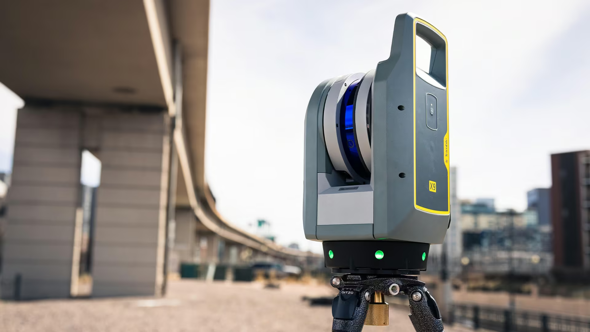
The Key Advantages of 3D Scanners
Before diving into the technical details, it’s worth examining why 3D scanners are revolutionising the way projects are managed. Beyond replacing older tools, they reshape workflows, reduce uncertainty and give teams greater confidence in their results. These benefits touch every stage of a project, from planning through to final delivery.
1. Precision and Accuracy
Survey-grade 3D scanners deliver sub-millimetre accuracy, enabling project teams to work with complete confidence. Errors are minimised and stakeholders can rely on data that meets compliance and quality standards.
2. Speed and Efficiency
Traditional surveying often requires multiple site visits and extended fieldwork. With 3D scanners, surveyors can capture full environments in minutes. This reduces on-site labour costs, shortens project timelines and speeds up decision-making.
3. Comprehensive Data Capture
Instead of working with a limited set of points, 3D scanning provides a complete dataset that can be revisited digitally at any stage. This makes it easier to validate measurements, detect design clashes and compare progress over time.
4. Support for Digital Twins
The ability to generate accurate 3D models supports the creation of digital twins – virtual models of a real-world asset that updates with live data, giving teams an accurate, up-to-date view for planning, monitoring and decision-making.
5. Safety Benefits
In hazardous environments such as mines or active construction sites, 3D scanners minimise the need for surveyors to enter dangerous areas. Data can be collected from a safe distance, reducing risk while maintaining accuracy.
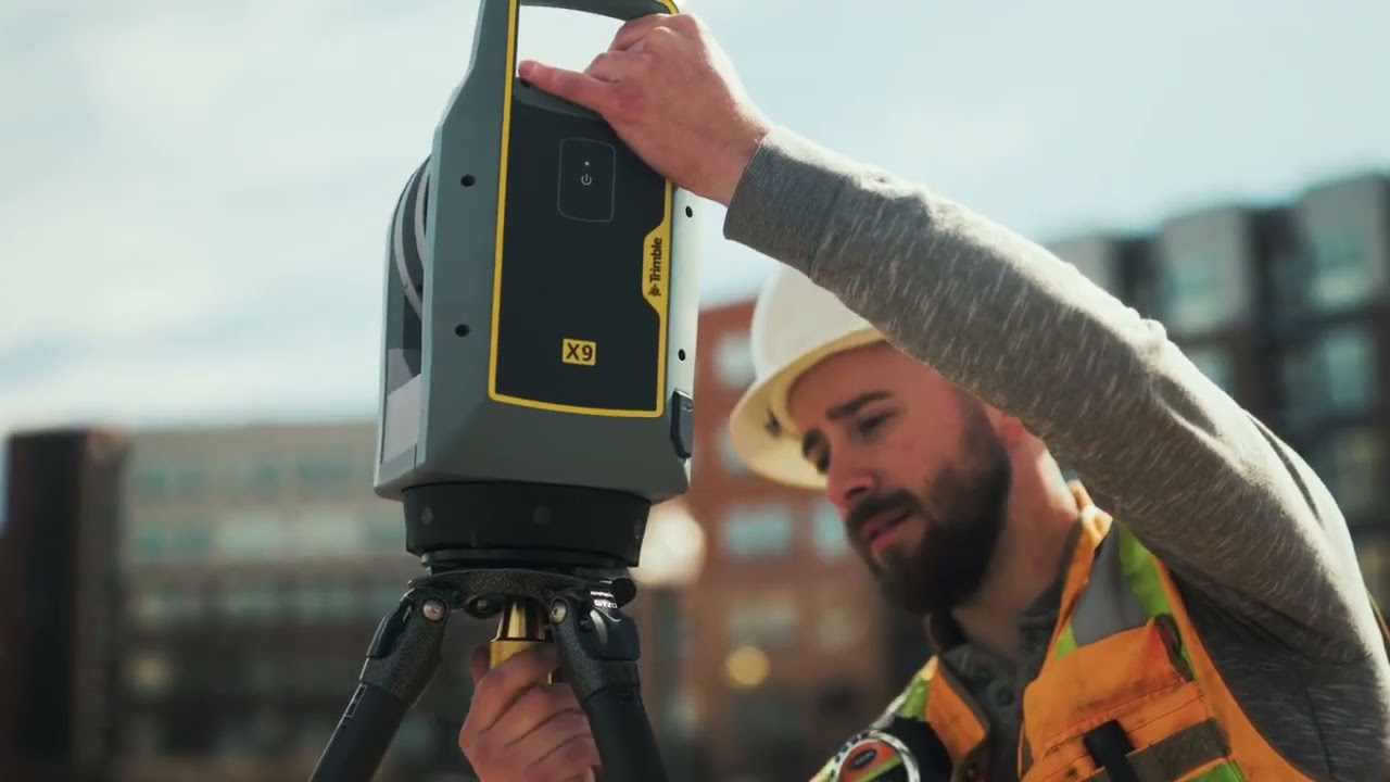
Industry Uses for 3D Scanning
3D scanners are highly adaptable and bring value to industries ranging from construction and mining to heritage and urban development:
-
Construction: From verifying structural alignment to creating as-built models, 3D scanning ensures accuracy in complex projects.
-
Heritage preservation: Historic landmarks and artefacts can be documented in digital form, safeguarding cultural assets for future generations.
-
Mining: Scanners help monitor excavation progress, assess volumes and improve safety in challenging environments.
-
Urban planning: Detailed scans of cityscapes provide the foundation for digital twins, advanced city development and infrastructure upgrades.
By integrating 3D scanning into their workflows, professionals in these fields can reduce risk, improve planning and optimise results.
Trimble 3D Scanners from OPTRON
As Southern Africa’s trusted provider of geospatial solutions, OPTRON delivers industry-leading 3D scanning technology from Trimble.
With rapid advances in geospatial technology, Trimble 3D scanners have become the benchmark for precision, reliability and performance. Designed for professionals who demand accuracy in every scan, these systems simplify complex workflows, reduce field time and deliver detailed point cloud data for smarter decision-making. Whether you’re mapping large infrastructure or capturing fine architectural detail, Trimble 3D scanners from OPTRON provide the tools you need to turn real-world environments into accurate digital models.
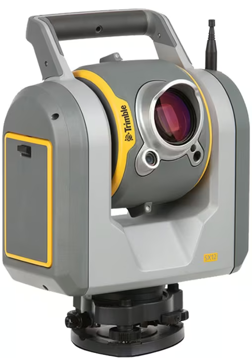
Trimble SX12: Integrated Surveying and 3D Scanning
The Trimble SX12 combines surveying, imaging and 3D scanning in a single instrument, making workflows more efficient and reducing the need for multiple devices.
Lightning 3DM technology and Trimble Access™ software enable users to capture survey data, high-speed scans and VISION™ imagery all in the field. Trimble Business Center™ and RealWorks™ provide seamless processing, while Trimble Clarity enables simple data sharing across teams.
The SX12’s industry-leading green laser pointer delivers precise, eye-safe targeting over long ranges, helping users consistently achieve high levels of accuracy and confidence on every project.
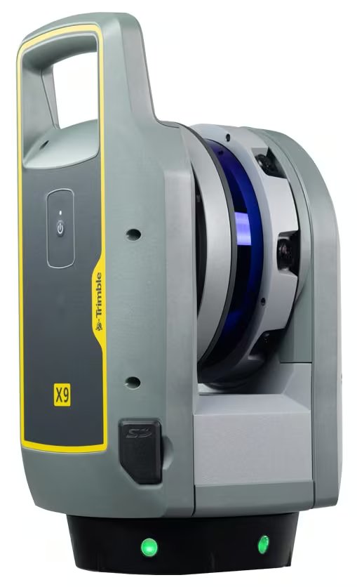
Trimble X9: Precision Reality Capture for Every Project
The Trimble X9, available in Core and Premium models, gives surveyors flexible solutions for a range of project types. The Core model is suitable for new users, supporting reliable FF/FL reporting, QA/QC of prefab components and delivering 500,000 points per second for detailed context in field designs, improving project quality from the start.
The Premium model increases productivity with lightning-fast scanning at one million points per second over a 0.6–150 m range, capturing high-resolution detail for complex as-built documentation and enabling fast, accurate decisions for demanding retrofit projects.
Frequently Asked Questions
Here are some common questions about 3D scanners and their role in modern surveying.
Unlock Precision and Efficiency With OPTRON’s 3D Scanners
The benefits of 3D scanning are undeniable: streamlined workflows, detailed datasets, greater reliability and improved safety on every project. Used in construction, mining, urban development or heritage, a 3D digital scanner provides an advanced way to capture and manage the built environment.
Ready to see the difference for yourself? Request a demo of OPTRON 3D scanners today and experience how Trimble technology can transform your projects.