Geospatial Solutions

Quantum Systems
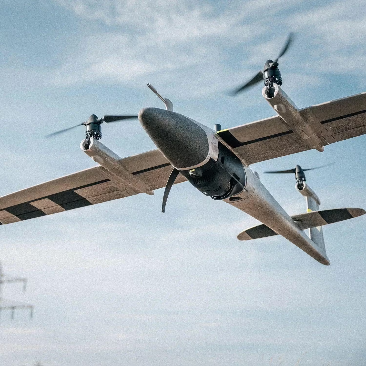
Whether for geospatial, precision agriculture, open-cast mining or the construction industry – Quantum-Systems’ long-range, automatic transition aircraft captures and delivers data from above for enhanced and sustainable decision making. To fulfil their mission, Quantum-Systems puts great importance on the perfect interaction between hardware and software.





Intelligent Aerial Solutions
Transforming decision-making through aerial data intelligence
Whether for geospatial, precision agriculture, open-cast mining or the construction industry – Quantum-Systems’ long-range, automatic transition aircraft captures and delivers data from above for enhanced and sustainable decision making. To fulfil their mission, Quantum-Systems puts great importance on the perfect interaction between hardware and software.
Quantum-Systems drones are generally software and supplier independent. This way customers have the flexibility to choose the software they prefer and configure a solution that fits their individual needs for enhanced decision-making.
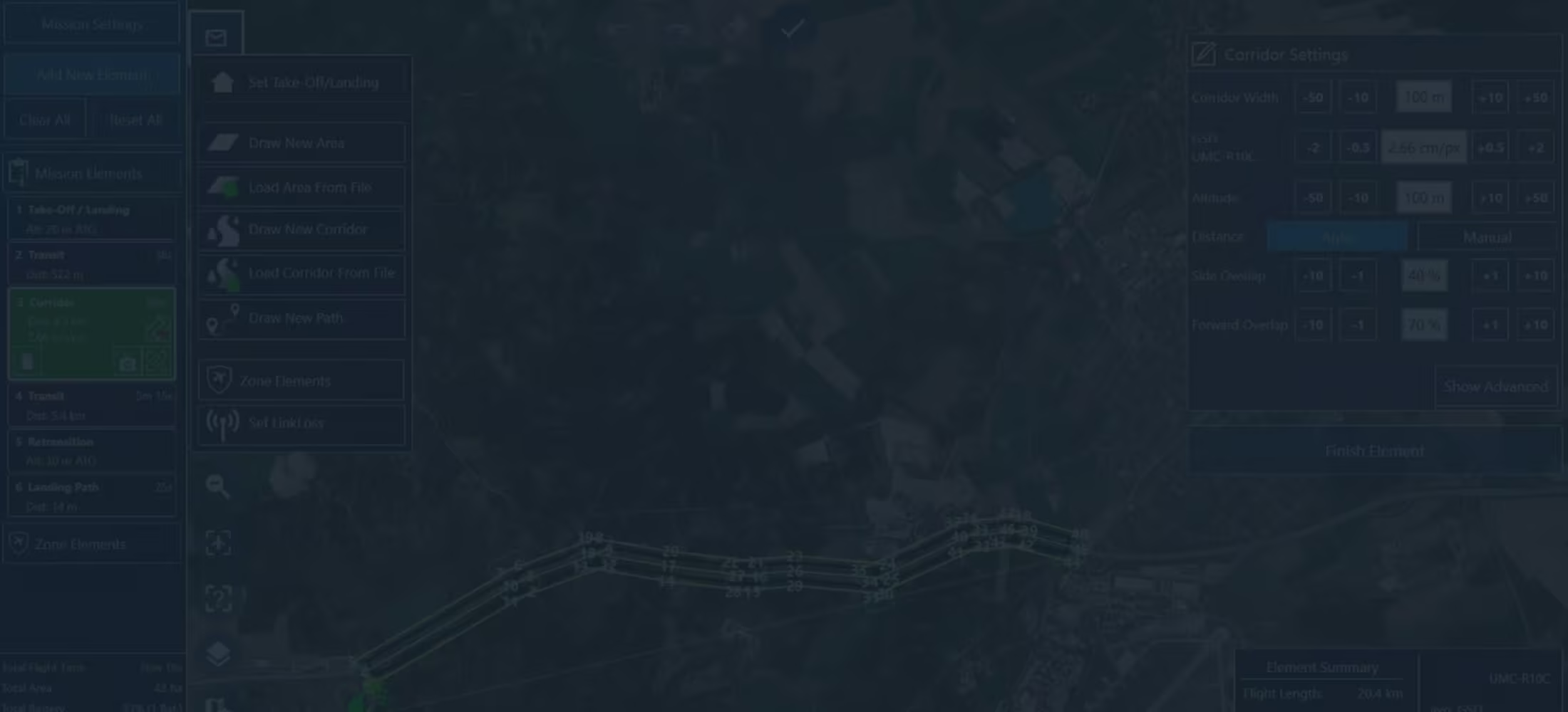
All Quantum-Systems components are developed 100% in-house in Germany. This includes the hardware, autopilot, as well as QBase 3D Mission Planning and Control Software. QBase 3D is perfectly tailored to their UAVs, making daily operation for the user as easy and intuitive as possible.
FAQs
Everything You Need to Know About Quantum Systems
Connect with OPTRON
Empower your operations with Quantum-Systems’ advanced UAV and aerial intelligence solutions, available through Optron.
Contact us today to discover how Quantum-Systems technology can enhance data accuracy, streamline aerial workflows, and support smarter decision-making across your geospatial, agriculture, mining, and infrastructure projects.