Trimble Authorised Dealer

MX90
The Trimble® MX90 system is part of a complete field-to-finish mobile mapping solution that combines leading-edge hardware with intuitive field software and an integrated office software workflow.

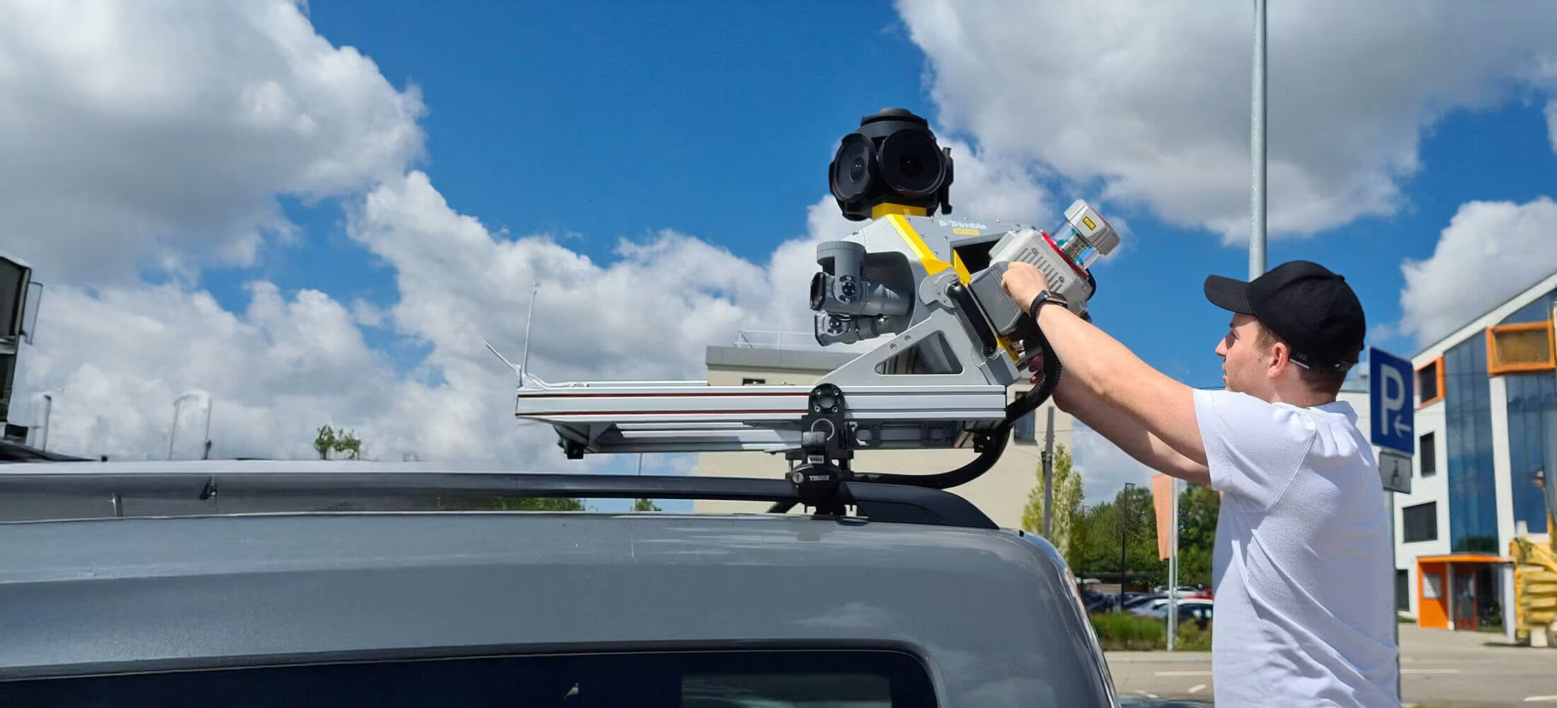
Mobile Mapping System
Trimble MX90
Achieve new levels of Productivity
The Trimble® MX90 system is part of a complete field-to-finish mobile mapping solution that combines leading-edge hardware with intuitive field software and an integrated office software workflow.
Enquire Now
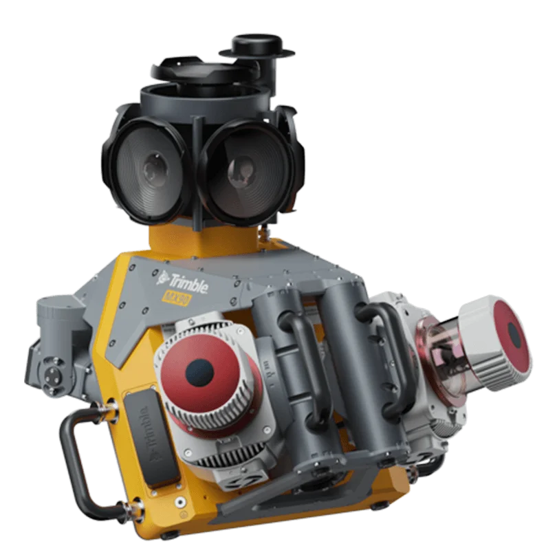
Next-generation mobile mapping
The Trimble MX90 delivers precise, feature-rich geospatial data with cutting-edge accuracy and imaging
The Trimble® MX90 is a powerful leading-edge mobile mapping solution, with state-of-the-art Trimble GNSS and inertial technology. It produces precise feature-rich data from trusted field-proven laser technology and immersive 360 degree panaramic and targeted camaras.
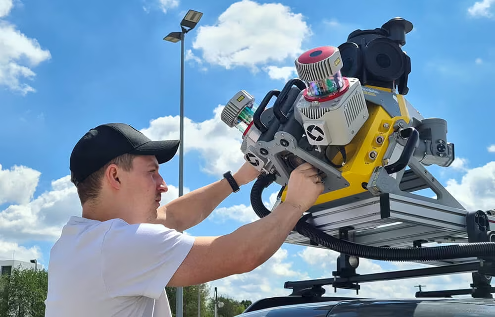
Premium, Powerful Mobile Mapping Solution
Count on the focused and exceptionally visible laser pointer to stake out points or measure topo points with ease, even at night. Use Trimble® Access™ to easily compare scans to a reference surface such as a horizontal floor, inclined or vertical wall, or cylinder. Reference colorized point clouds to instantly identify surface irregularities, then mark issues in the field using the laser pointer.
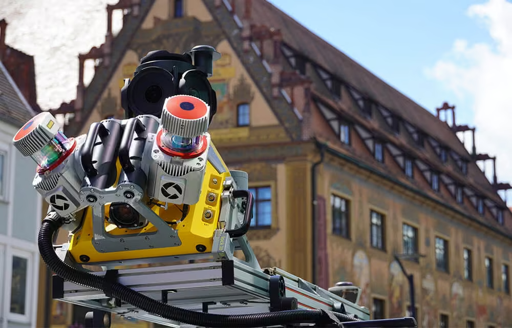
Produce and Share Robust Deliverables Efficiently
Capture, process, extract and share high density point clouds and rich, immersive imagery to produce meaningful deliverables. Discover new productivity levels leveraging the complete Trimble field-to-finish workflow.
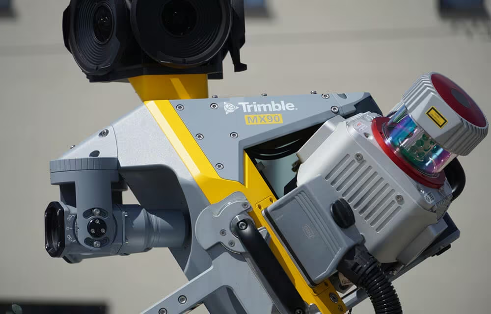
Key Specifications
-
Up to 3.6 MHz Laser
-
72 MP (6 x 12 MP) Spherical camera
-
Deploys on all sizes of vehicles
-
Inertial Measurement Unit (IMU) for enhanced GNSS precision
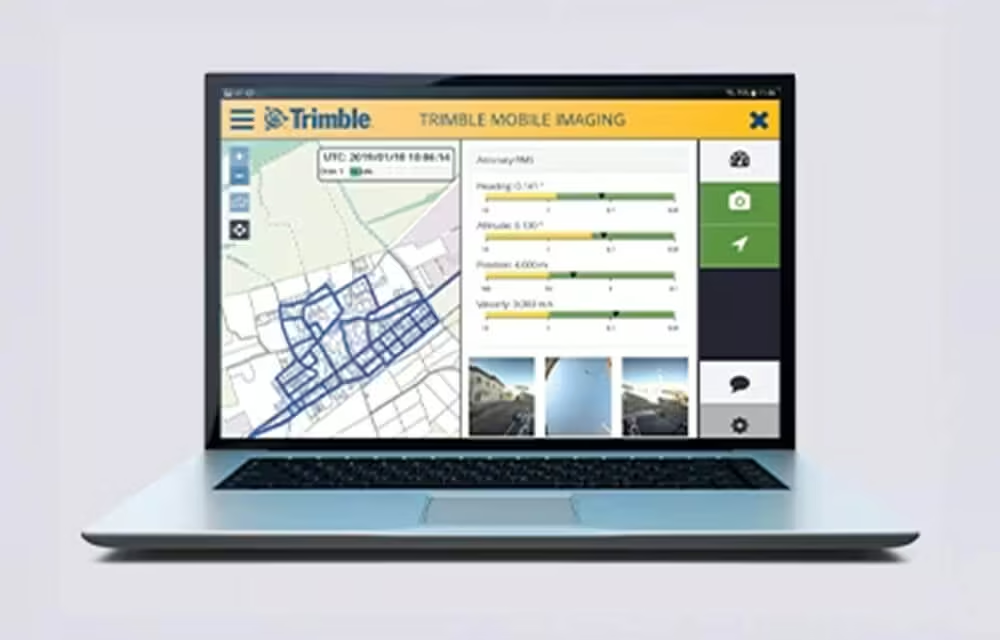
Quickly obtain Geospatial Data
Control data acquisition with any smart device and easily adjust the lasers and oblique camera for the best orientation.
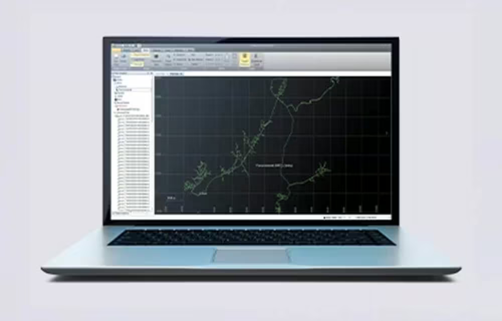
Combine GNSS & Inertial Data
Trajectory data processing using tightly coupled GNSS and inertial data incorporated into Trimble Business Center software.
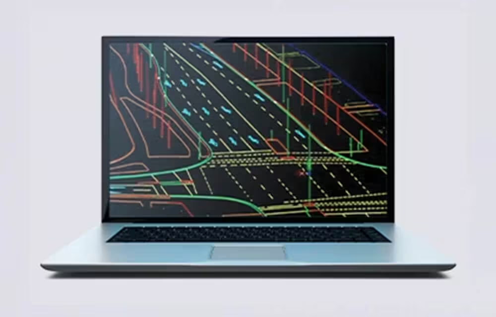
High Quality Deliverables
Create, inspect and analyze high quality survey, engineering CAD and GIS deliverables, by leveraging the data fusion capabilities of Trimble Business Center.
Publish & Collaborate
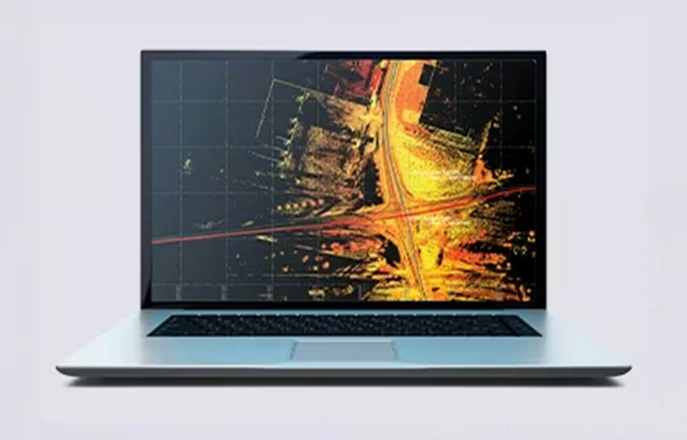
Avoid site revisits by sharing for-collaboration point clouds and images with overlaid existing asset data.
Related Media
See the Trimble MX90 in Action
Explore the MX90 at work in real environments. See how its advanced sensors, 360-degree imaging, and high-accuracy GNSS deliver powerful results for mobile mapping projects of every scale.
Related Images



-

Trimble MX7
The Trimble MX7 Mobile Imaging System is a fast and cost effective way to manage assets.
-
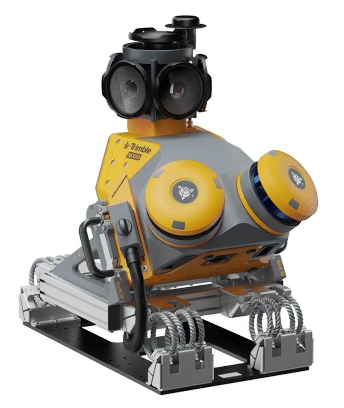
Trimble MX60
The Trimble® MX60 system is part of a complete field-to-finish mobile mapping solution