Category Drones & Digital Workflows

Eyes in the Sky

Babanango Game Reserve is transforming conservation and security through advanced drone technology. By deploying DJI Dock 3 systems across its rugged landscape, the reserve has dramatically reduced response times, improved anti-poaching efforts, and gained powerful new tools for monitoring wildlife and ecosystem health.
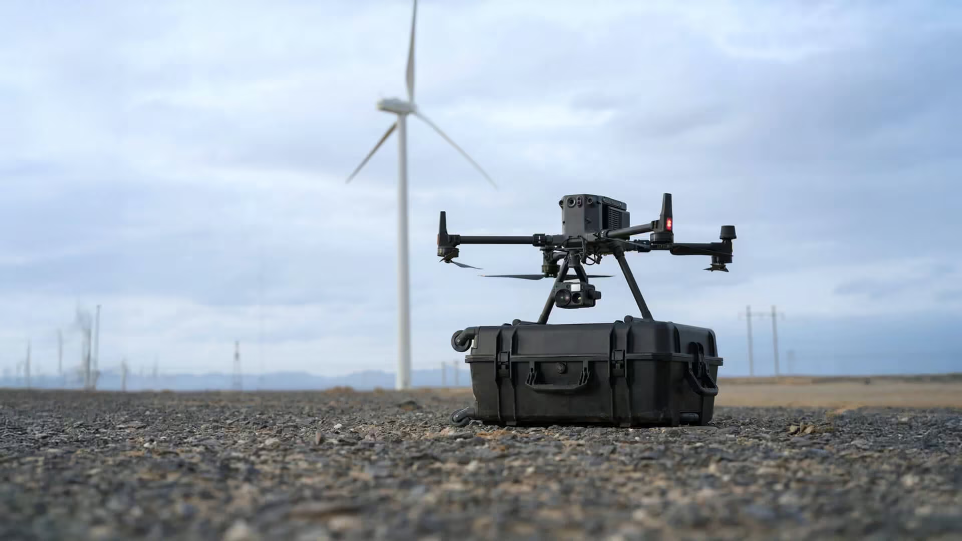
Drone Survey Benefits and Applications in South Africa

Drone surveying is transforming how South African professionals approach mapping, construction, agriculture and land development. By combining UAV technology, high-accuracy positioning and advanced data processing, modern drone surveys deliver faster results, improved safety and centimetre-level precision across even the most challenging terrain. This article explores how drone land surveying works, its key benefits, and how industries across South Africa are using aerial mapping drones to make smarter, data-driven decisions.

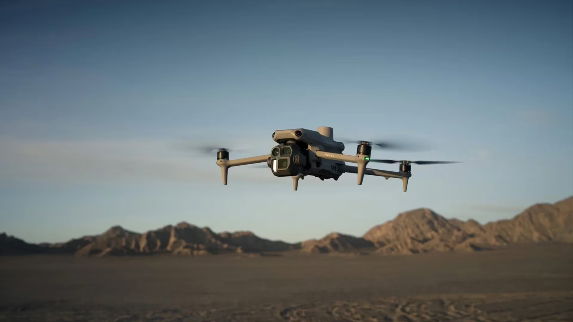
DJI Matrice 4

DJI drones matrice 4

The DJI Matrice 4 Series is redefining aerial surveying with advanced sensors, modular payloads, extended flight time and AI automation. From construction and agriculture to energy inspections, this next-generation drone delivers survey-grade accuracy and unmatched efficiency. Discover how OPTRON, the authorised DJI distributor in Southern Africa, supports surveyors with training, service and expertise.

Drone Surveying

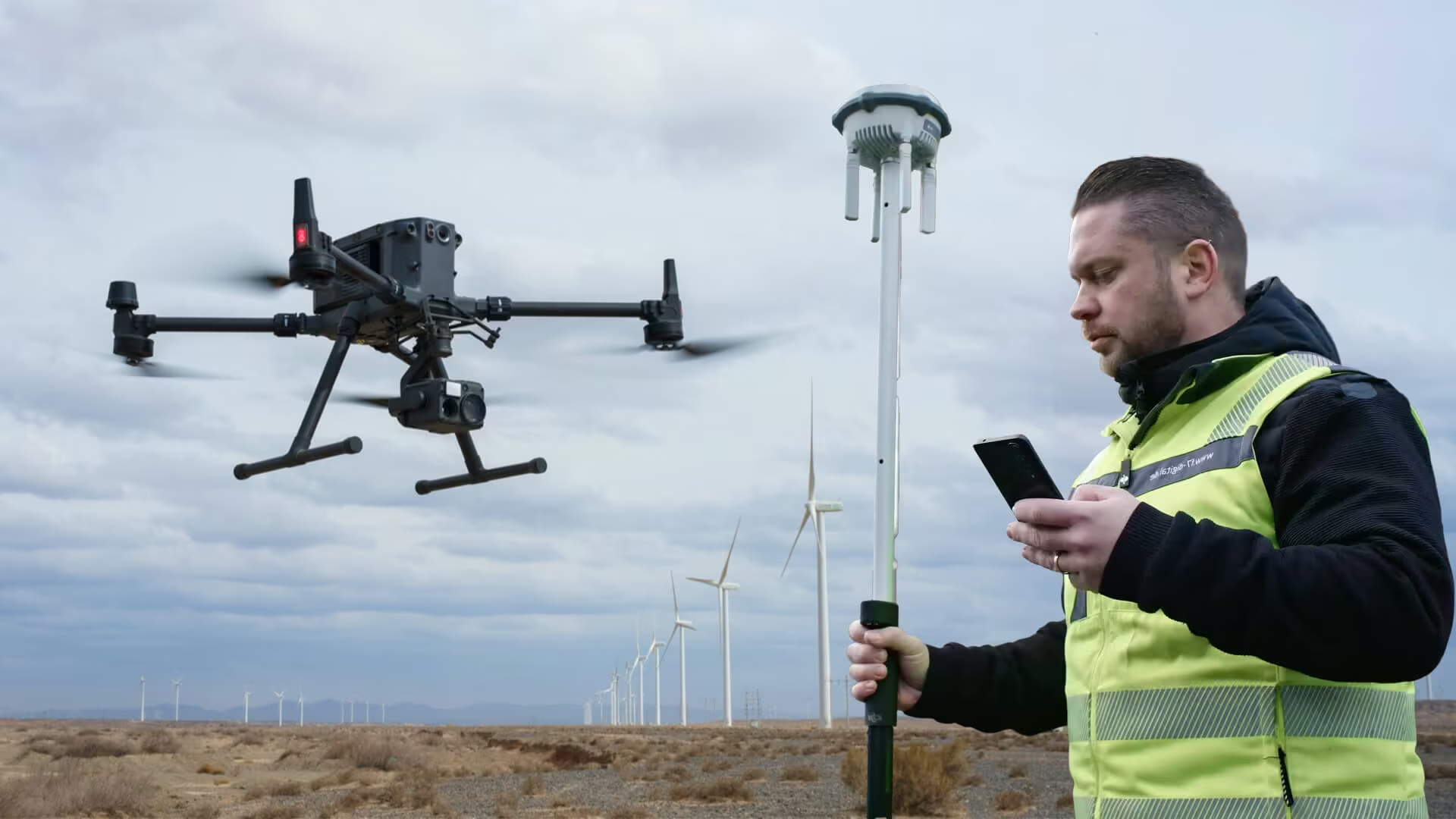
Surveyor operating GNSS equipment while monitoring a drone flying over a construction site at sunset, showcasing drone surveying technology.

Drone surveying is transforming land projects with faster data collection, improved safety and unmatched accuracy. Learn how UAV survey technology and DJI Enterprise drones streamline workflows across industries, helping surveyors complete projects more efficiently with OPTRON’s expert support and integrated solutions.