Trimble Authorised Dealer

Inpho UAS Master
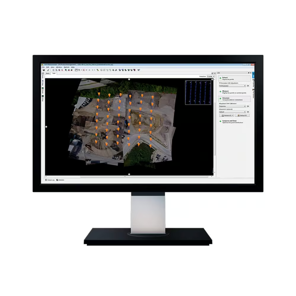
Create powerful deliverables from images collected with UAS (Unmanned Aircraft Systems) aerial mapping and surveying systems. UASMaster combines ease of use with the full power of a photogrammetric workstation.

Photogrammetry
Office Software
Inpho UAS Master
Complete Photogrammetric Workstation for UAS and Terrestrial Close-Range Imagery
Create powerful deliverables from images collected with UAS (Unmanned Aircraft Systems) aerial mapping and surveying systems. UASMaster combines ease of use with the full power of a photogrammetric workstation.
Enquire Now

UAS Photogrammetry Simplified
Powerful Aerial Mapping Software That Bridges Beginner Ease and Expert Capability
Based on state‐of‐the‐art Trimble Inpho technology, known for 30 years of digital aerial photogrammetry leadership the new UASMaster module is bridging the gap between simple near black‐box workflows for non‐photogrammetrists and photogrammetry expert workflows.
It combines very intuitive guided workflows with flexibility, highly effective interactive editing tools and thorough quality assurance reports required by the advanced user.
UASMaster has an open market concept and therefore is able to process data from almost every hardware vendor for UAS. It works with fixed wing vehicles as well as with helicopter‐type aircraft. The software proved successful processing even with hand-held cameras, survey‐balloons and other types of unmanned aerial systems.
UASMaster includes advanced technology that has been customized to provide high quality results from the special characteristics of UAS data. The incorporation of specialized computer‐vision algorithms produces very accurate results automatically, with minimal manual interaction. Optimized processing is available for UAS with GPS support and high-quality direct-georeferencing (e.g. with Applanix APX-15). This ensures a stable and reliable photogrammetric system delivering excellent results without requiring specialized photogrammetry knowledge or experience.
Features
A Complete UAS Photogrammetry Workflow Built for Every Level of Expertise
Complete photogrammetric workflow in one product:
-
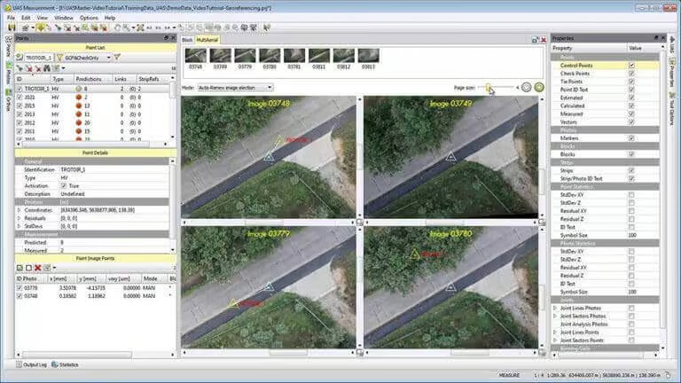
Full automatic geo-referencing, calibration, refinement and analysis
-
Create colorized dense point clouds, surface models and bare earth terrain models
-
Refine and edit terrain models, collect GIS data and vector maps on top of stereo 3D imagery
-
Create digital orthophotos, classic orthos as well as true orthos
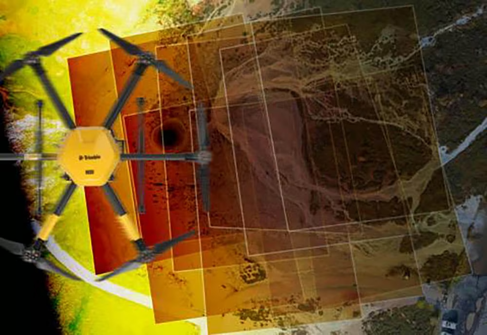
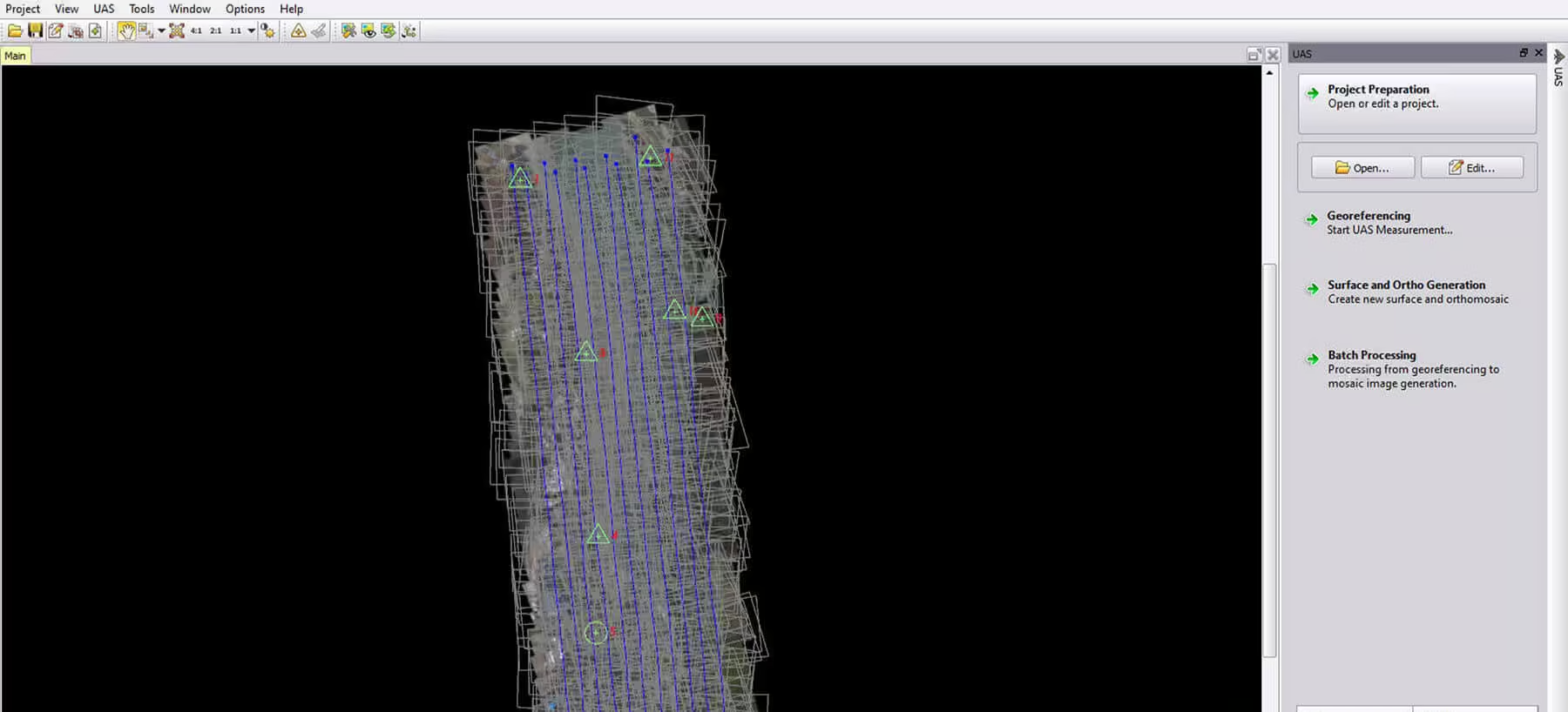
Generate imaging point clouds as a cost-effective alternative to laser scans, benefit from detailed images to acquire GIS data and transfer most of your survey work to the convenience of your office. UASMaster combines ease of use with the full power of a photogrammetric workstation.
The software bridges the gap between simple near black-box workflows for non-photogrammetrists and photogrammetry expert workflows. UASMaster includes advanced technology that has been customized to provide high quality results from the special characteristics of UAS data. It easily integrates into the Inpho world of photogrammetry, into Trimble Business Center as well as into many 3rd party workflows.
With its open market concept UASMaster is able to process data from almost every hardware vendor for UAS. It works with acquired data from fixed-wing vehicles as well as well as with multi-copters and even hand-held cameras. For 3D reconstruction projects, depending on project requirements, the only mandatory data is imagery – no need to know camera parameters, approximate image georeferences or ground control.
The software bridges the gap between simple near black-box workflows for non-photogrammetrists and photogrammetry expert workflows. UASMaster includes advanced technology that has been customized to provide high quality results from the special characteristics of UAS data. It easily integrates into the Inpho world of photogrammetry, into Trimble Business Center as well as into many 3rd party workflows.
With its open market concept UASMaster is able to process data from almost every hardware vendor for UAS. It works with acquired data from fixed-wing vehicles as well as well as with multi-copters and even hand-held cameras. For 3D reconstruction projects, depending on project requirements, the only mandatory data is imagery – no need to know camera parameters, approximate image georeferences or ground control.
-
Quick black-box or multi-step processing with quality-optimized or performance optimized parameter presets including full featured refinement and editing tools.
-
Process data from any type of UAS and frame cameras
-
Excellent results without requiring specialized photogrammetry knowledge or experience.
-
Also available integrated into Trimble Business Center Photogrammetry Module including all survey tools combined with survey hardware and GNSS base-line processing.
Highlights
Automated Accuracy and Flexible Workflows for Any UAS Mapping Project
Modern computer-vision algorithms combined with proven state-of-the-art photogrammetric techniques produce accurate results automatically, with minimal manual interaction:
-
Open for any fixed-wing, multi-copter or handheld frame camera.
-
Special support for high-quality GNSS/IMU data for stable processing in challenging conditions or to eliminate need for ground control.
-
Intuitive guided workflow concept for the photogrammetric novice which perfectly integrates into any photogrammetric workflows.
-
Fully compatible with Inpho photogrammetry modules from Trimble.
-
Streamlined workflow to automatic feature extraction with eCognition and perfect integration into Trimble Business Center for classic survey applications.
Area Mapping Projects
-
Interactive context-driven and automated editing capabilities for geo-referencing and point clouds including morphological data creation (e.g. break-line measurements), classification, filtering, and many more.
-
UAS-specific local-area ortho editing tools Expert tools, simplified for Non-photogrammetrists such as automatic correlation-based terrain following, enabling precise stereoscopic measurements without requiring stereo-experience
-
Complete engineering workflows including CAD tools, contouring, gridding…
3D Reconstruction Projects
-
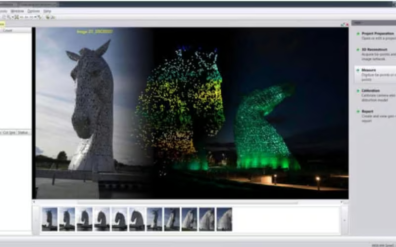
No need for known camera parameters, approximate image orientations or reference points (optional constraints).
-
Sparse point cloud generated from geo-referencing tie points – perfectly suited for e.g. stockpile computations etc. ( no need for extra dense-matching run)
Options
Scalable Photogrammetry Solutions for Every Need
-
Network licensing for all options with network dongle
-
Monthly rental, updates and upgrades from lite
-
Alternative entry-level lite version available (limited to 800 images, no point cloud editing capability) including all high quality georeferencing, point cloud matching and ortho capabilities.
-
Optionally available integrated into Trimble Business Center Photogrammetry, TBC-HCE, Spectra Precision Survey Office for complete survey type workflows.
-
Maintenance (1st year included in software price) includes support and version updates
-
Ask our sales-team about special educational and research offerings
-
Automatic feature extraction with Trimble eCognition
-
Direct stereoscopic 3D mapping into CAD and GIS is available through the connection to Summit Evolution
Related Media
See Inpho Software in Action
Watch how Inpho streamlines complex photogrammetry tasks, from data capture to final production, with precision and clarity.

Related Images



-

Trimble RealWorks
Automated tools and point cloud workflows help users quickly process, analyze and create high-quality deliverables. -

Inpho
Inpho office software transforms aerial images into accurate point clouds, surface models and orthophoto mosaics. -

Trimble MX Office Software
Mobile mapping operations collect massive data sets very quickly. It is important to have the right software tools to simplify data organization, feature extraction, and customer collaboration. -
Applanix POSPac MMS
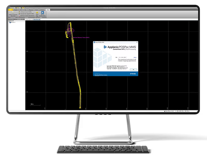
POSPac Mobile Mapping Suite, now with Trimble CenterPoint RTX, is an industry leading GNSS-Aided Inertial post-processing software -

eCognition
Trimble eCognition helps automate the interpretation of geospatial data with advanced feature extraction and change detection tools. -

Terra Office
Trimble Terra Office software helps professionals manage high-accuracy TerraFlex data and integrate it into GIS systems. -

Trimble Sentinel
The Trimble® Sentinel device tracking solution is the easy way to quickly track total stations using your mobile device in real time. -

Trimble Reality Capture Platform
The Trimble® Reality Capture platform service enables users to collaborate, share, store and manage large amounts of reality capture data in the cloud. -
Trimble Connect
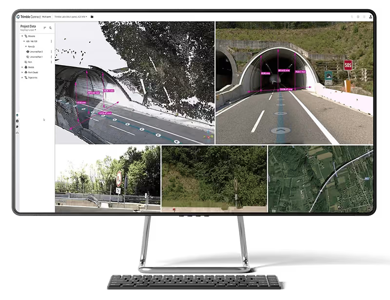
Trimble Connect is a cloud-based platform that connects teams with the right data at the right time. -

Trimble Business Center
Trimble Business Center (TBC) software transforms field data into high-quality, actionable information and deliverables.