Trimble Authorised Dealer
Trimble RealWorks
Automated tools and point cloud specific workflows allow users to import point cloud data from virtually any source, then quickly process, analyze and create high quality customer deliverables.

Automated tools and point cloud specific workflows allow users to import point cloud data from virtually any source, then quickly process, analyze and create high quality customer deliverables.
Create powerful deliverables from images collected with UAS (Unmanned Aircraft Systems) aerial mapping and surveying systems. UASMaster combines ease of use with the full power of a photogrammetric workstation.
Inpho® office software is designed to precisely transform aerial images into consistent and accurate point clouds and surface models, orthophoto mosaics and digitized 3D features using state-of-the-art photogrammetry and remote sensing techniques.
Mobile mapping operations collect massive data sets very quickly. It is important to have the right software tools to simplify data organization, feature extraction, and customer collaboration.
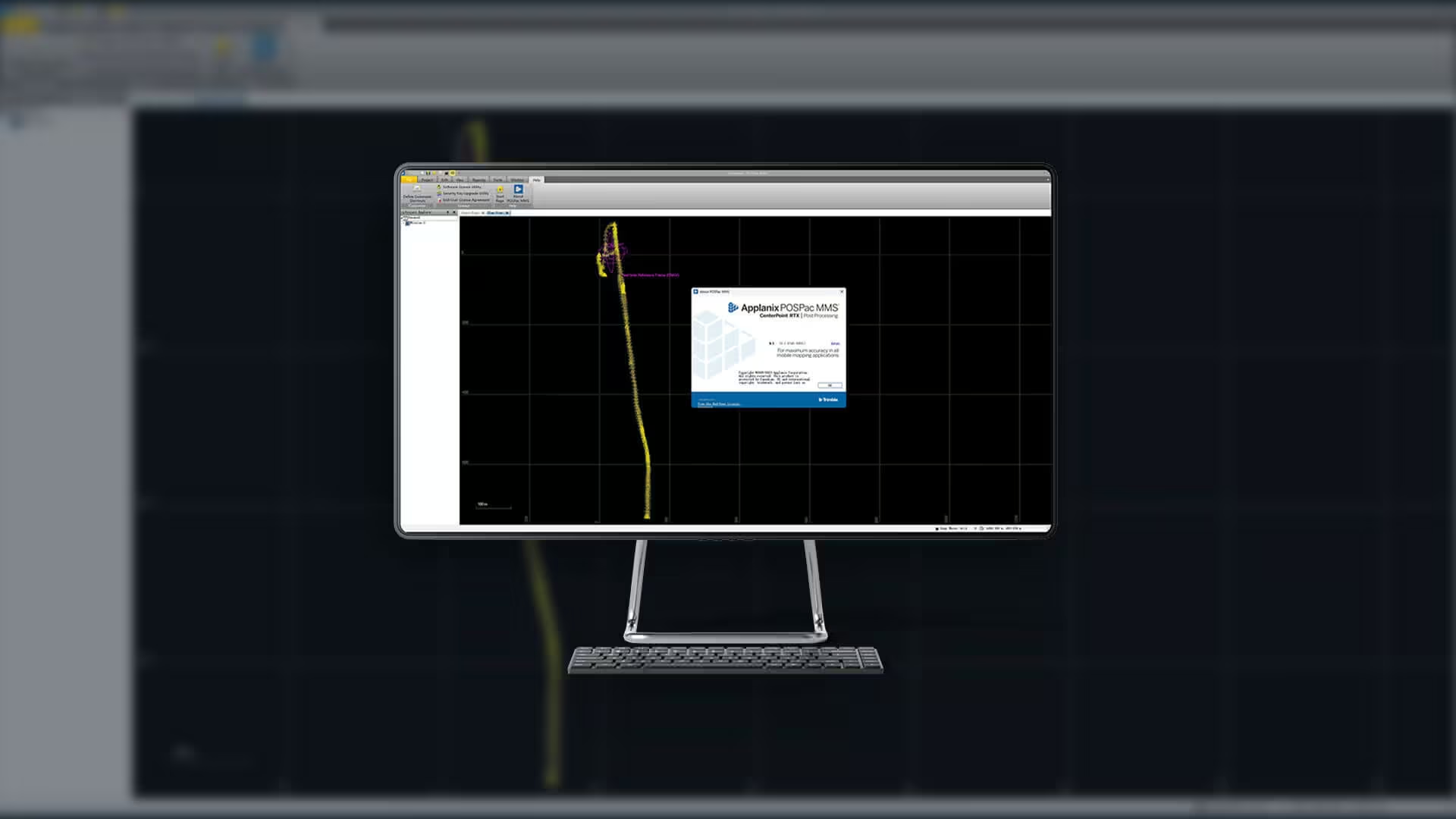
POSPac Mobile Mapping Suite, now with Trimble CenterPoint RTX, is an industry leading GNSS-Aided Inertial post-processing software for georeferencing data collected from cameras, LIDARs and other sensors on mobile platforms.
Trimble eCognition enables you to accelerate and automate the interpretation of your geospatial data products by allowing you to design your own feature extraction and change detection solutions.
Trimble® Terra™ Office software helps mapping and GIS professionals manage high-accuracy Trimble TerraFlex™ data collection projects and integrate collected data into a variety of GIS systems-of-record, including Esri® ArcGIS®.
The Trimble® Sentinel device tracking solution is the easy way to quickly track total stations using your mobile device in real time. It is the safety net to ensure you never lose sight of your instruments with an easy-to-use app.
The Trimble® Reality Capture platform service enables users to collaborate, share, store and manage large amounts of reality capture data in the cloud. Seamlessly link data and share with non-technical stakeholders easily in Trimble Connect.
Connect the right people to the right data at the right time with Trimble Connect, a cloud-based common data environment (CDE) and collaboration platform designed specifically for the construction industry.